GERROA SAND QUARRY EXTENSION – ASSESSMENT PROCESS & CONTEXT
We note that the environmental assessments for this application have been carried out under the old NSW Threatened Species Conservation Act 1995 and SEPP 71 Coastal Protection. SEPP 71 was repealed and replaced by State Environmental Planning Policy (Coastal Management) 2018 on 3rd April 2018. Some of the provisions of this SEPP in relation to Littoral rainforest buffers need to be considered in this application.

Many of the reports supporting this modification are outdated, apply to the original application and make little reference to the changes this modification poses.
Seven Mile Beach is an isolated vegetation unit disconnected from the hinterland. It is therefore vulnerable to local extinctions. It is unusually diverse and is habitat for an association of a large number of Endangered Ecological Communities and species. The area of habitat for some fauna species is at its limit for supporting sustainable populations. Loss and fragmentation of this habitat is a recognised threatening process for some of those species. The Koala and Greater Glider are particularly susceptible to these threats.
Sand mining has historically led to a significant loss and fragmentation of habitat and the current mine dredge pond is a significant barrier to animal movement between vegetation fragments to its west.
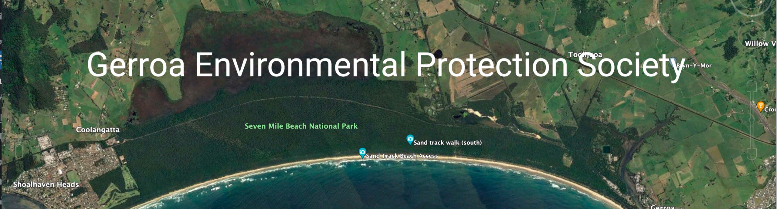
The image illustrates historic habitat losses and fragmentation associated with sandmining and mining applications.
The LEC court case in 2008 identified issues of vegetation fragmentation and loss as well as potential ground water impacts on endangered swamp forests. It proposed measures to monitor and mitigate groundwater impacts and additional strengthening of the vegetation corridor along Blue Angle Creek.
NEXT PAGE – GERROA SAND MINE EXTENSION – DREDGE POND BUFFERS