New Gerroa Sand Quarry Modification
CLICK ON IMAGE BELOW TO STEP THROUGH
GEPS FULLY DETAILED SUBMISSION PAGE BY PAGE

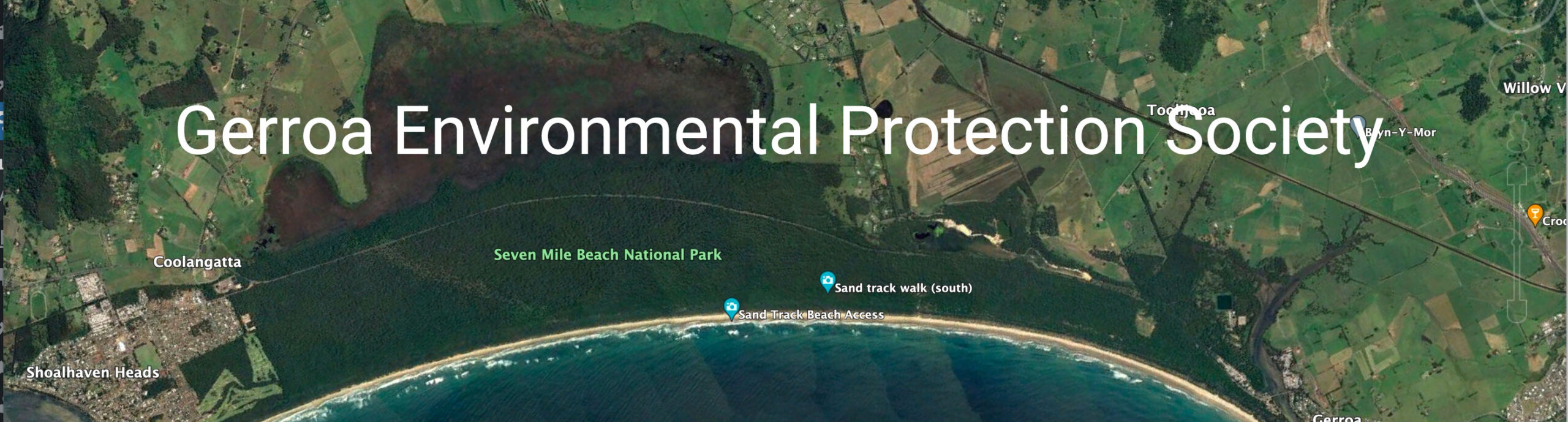
Map showing the existing mine and the proposed “extension”.
Red indicates the current dredge pond.
Light Blue indicates the proposed dredge pond.
While the proposed quarry is mainly on farmland it may have environmental impacts on habitat corridors, groundwater and visual landscapes so we encourage submissions
We hope that you can make even a small submission objecting to this proposal. Objections need to be in by 04/07/18. We need to get 25 objections.
You can make submissions on the website below by either lodging a .pdf document or writing into the space provided on the webpage on the site:

